Land Analysis
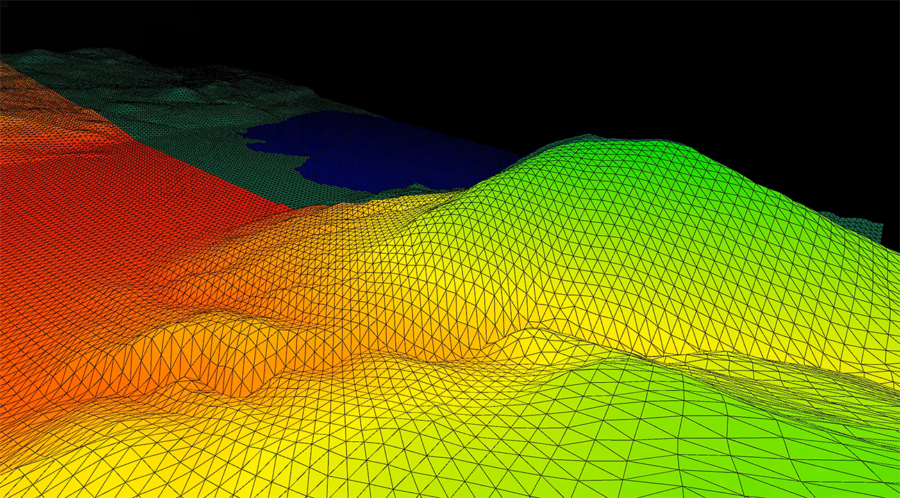
We exploit large and heterogeneous geographical datasets to retrieve 3D information on the shape of topography and constructions. Our environmental simulations reveal precious hidden territorial information on proprieties related for example to the sun, to views, and to airflows. The results of these simulations allow us to address decisions in a new, quantified, and informed way, generating important added values in the fields of urban planning and real estate strategies. To make available this technology to external users we are currently developing UrbanMetrix software.
/. ///
Archimethod SA
+41 91 940 26 70